- Six Reasons To Bring Millets To The Market!
- Hong Kong Court Makes Landmark Ruling Protecting Transgender Rights
- Substrate Promiscuity Of Fungi Generated Enzyme Laccase Shows Potential In Degrading Industrial Dye Effluents
- Union Minister Of Rural Development Holds A Meeting On ‘Cactus Plantation And Its Economic Usage’
- Ministry Of Tribal Affairs Organised One Day Mega Health Camp ‘Abua Bugin Hodmo-Our Better Health’ At Saraikela Kharsawan, Jharkhand
- Blue Flag Standards For Beaches In The Country
- India-Namibia Sign An MoU On Wildlife Conservation And Sustainable Biodiversity Utilization
- Hydrophobic Ingredients, In Combination With Obsolete Antibiotics, Can Counter Multidrug-Resistant Bacteria
- Promoting Cultivation Of Kala Namak Paddy
Challenges of Flood Forecasting
Posted by: 2022-02-04 15:49:53 ,By Admin

Flood Forecasting on International & Inter-state Rivers is formulated and issued by Central Water Commission (CWC) using statistical methods for short range forecasting and mathematical modelling for fiveday's advance flood advisory. The main challenge being faced in flood forecasting is to accurately forecast the impending flood sufficiently in advance with high level of accuracy. Mathematical modelling based flood advisory although provide sufficient lead time, its accuracy is dependent on accuracy of weather(rainfall) forecasts. The growing incidents of high intensity rainfall in shorter duration due to likely impact of climate change poses another challenge for flood forecasting.
There is a continuous effort for improvement of Flood Forecasting using all the latest technology including space technology tools, Geographical Information System (GIS), web based applications, etc. Following steps have been taken to improve the Flood forecasting system in the country.
-Expansion of Flood Forecasting Network: CWC flood forecasting network has been expanded to 331 Flood Forecast Stations(199 Level Forecast for Villages/Town on the bank of the rivers and 132Inflow Forecast Stations for Dams and Barrages) covering 23 States &2 UTs in 20 river basins for taking proper mitigation measures by respective State Governments. In the State of Andhra Pradesh, there are 13 level forecasting stations and 10 in flow forecasting stations.
-Modernization of Flood Forecast Formulation: Flood forecasting is issued up to 5 days in advance for major river basins across the country including the State of Andhra Pradesh. The same is updated every three hours and is available online (https://120.57.99.138/index.php).
-Modernization in dissemination of flood forecasts: Dissemination of flood forecasts has also been modernized through a dedicated website. Daily Flood Situation Report cum Advisory is shared with all stakeholders aswell as general public using social media platforms.
Bilateral agreements with upper riparian countries Nepal, Bhutan &China have been made for data sharing.
Common data platform, Water Information Management System(WIMS), under National Water Informatics Centre (NWIC), has been created to ensure seamless data flow from States and CWC formodelling work. In addition, arrangements for seamless data flow from agencies like INCOIS, NASA, JAXA, etc. have also been made.
Read more: Click Here
You may like similar news
.jpg)
Delhi Metro graffiti accused says he was impressed by Kejriwal but…
33-year-old Ankit Goyal is accused of writing threatening graffiti against Kejriwal inside Delhi's R...
.jpg)
After Prashant Kishor, US expert predicts massive BJP victory in Lok Sabha elections
Prashant Kishor said earlier this week that Prime Minister Narendra Modi's BJP is returning to power...

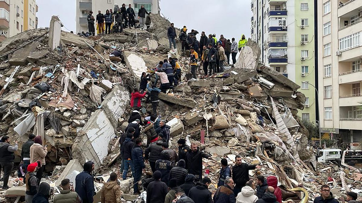
Major earthquake hits Turkey, Syria; hundreds dead, many trapped
ADANA, Turkey/DAMASCUS, Feb 6 (Reuters) - More than 1,400 people were killed and thousands injured o...
.jpg)
Govt amends CSR rules to boost impact
NEW DELHI: The government on Friday amended the CSR spending rules under the Companies Act to provid...
NGO in Chennai to aid of Vardah-hit Pulicat fisherfolk
CHENNAI: After cyclone Vardah raged through the city on December 12, 2016, volunteers of Rapid Respo...


